Weather predictions
November 2, 2009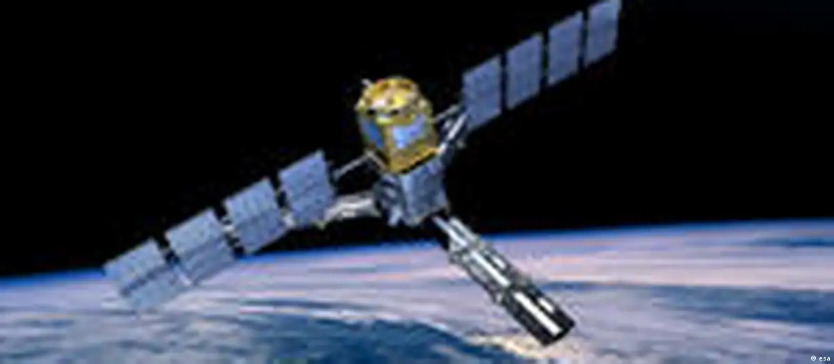
Launched from Russia's Plesetsk Cosmodrome early Monday morning, ESA's Soil Moisture and Ocean Salinity (SMOS) satellite is to collect data on salinity of the world's ocean surface and moisture held in soils.
SMOS "has long been awaited by climatologists who try to predict the long-term effects of today's climate change," the director of ESA's Earth Observations Program, Volker Liebig, said in a statement.
"The data collected by SMOS will complement measurements already performed on the ground and at sea to monitor water exchanges on a global scale," Liebig added.
Predicting weather's effects
At a cost of 315 million euros ($465 million), SMOS will also measure the movement of water across the planet. The data is also expected to help scientists improve weather forecasts and warnings of natural disasters.
"Climate change is a fact, but its impact on precipitation, evaporation, surface runoff and flood risks is still uncertain," said Yann Kerr, a researcher at the Center for the Study of the Biosphere from Space and scientific director for the SMOS mission. "The availability of water plays a more important role on these impacts than temperature itself."
Computer models have become increasingly important for climate scientists looking to find connections between weather and climate patterns.
The new satellite will measure water content of soil across the planet every three days to a depth of one-to-two meters (3.3-to-6.8 feet), improving scientists' ability to predict the weather and monitor photosynthesis and plant growth.
Soil moisture can help forecast drought and flood risk as the ability of rainwater to percolate down depends on the type of soil and how much water it is already holding.
Chasing currents
The satellite's second mission is to measure changes in the salt content of sea surface waters to improve researchers' understanding of global ocean circulation patterns.
Ocean circulation helps moderate climate, notably by transporting heat from the equator to the poles. Some studies have suggested that global warming could disrupt these cycles in ways that could dramatically alter regional weather patterns.
The SMOS satellite is to circle the earth at a height of 760 kilometers for at least three years at a cost of about 350 million euros. Should the mission prove useful, it could be extended by another two years.
A second ESA satellite also lifted into space Monday. The Proba-2 is designed to demonstrate innovative in-orbit technologies.
It will test a new type of lithium-ion battery, an advanced data and power management system, a dual-frequency GPS receiver, an experimental solar panel, an exploration micro-camera and a dozen other technologies.
Proba-2 will also conduct experiments related to solar observation and space weather.
sms/AFP/dpa
Editor: Sam Edmonds